U Minh Thuong National Park
U Minh Thuong, Xã U Minh Thượng, An Giang Province
촬영 준비 완료
PAI 0.5
Crew size: 50명 초과
Processing time: 데이터 없음
Category: 자연 경관
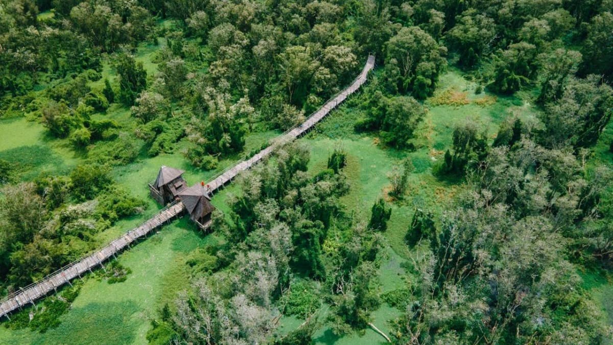
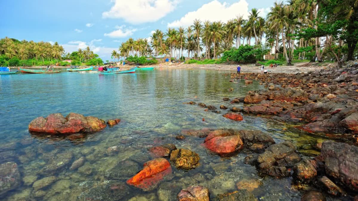
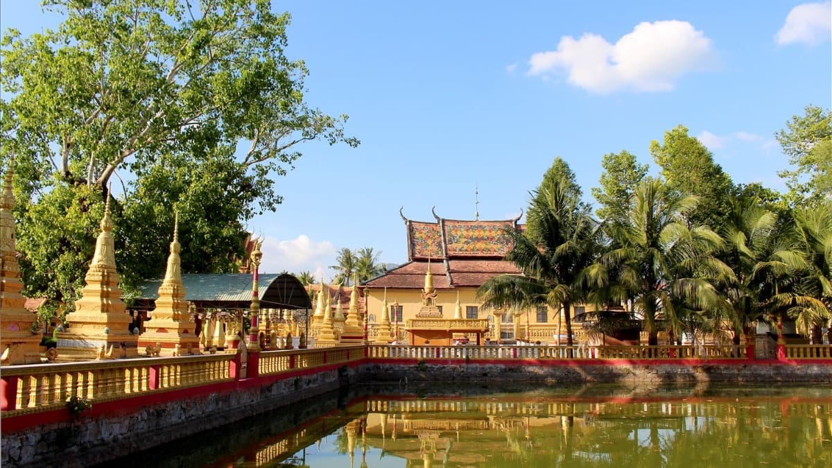
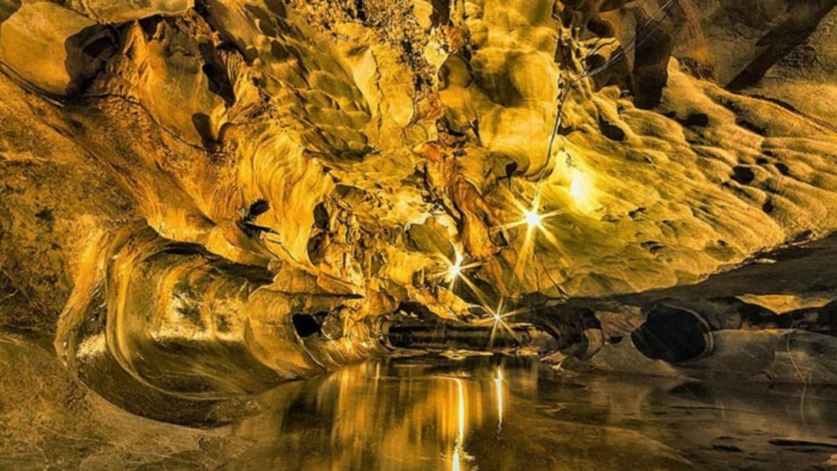
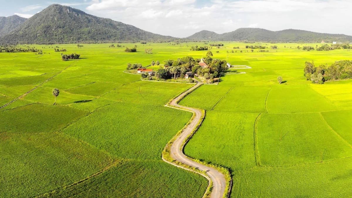
U Minh Thuong National Park – Melaleuca forest on peatland Located approximately 65km southwest of Rach Gia City in U Minh Thuong District, Kien Giang Province, U Minh Thuong National Park is a globally recognized Biosphere Reserve and an invaluable ASEAN Heritage Park. This site served as a strategic revolutionary base for the Southwest region during two wars of resistance, housing 31 historical monuments. U Minh Thuong possesses the only remaining primary peat swamp forest ecosystem in Vietnam. Its cinematic landscape offers a wild, pristine beauty, steeped in an ancient atmosphere with thousand-year-old Melaleuca trees rising from the characteristic red waters of the U Minh region. The five-petaled Hoa Mai Lake, covered in vast carpets of aquatic ferns, and large flocks of flying foxes hovering in the sky create unparalleled visual inspiration for the camera. This location is highly suitable for historical war films, wilderness survival and adventure films, as well as archaeological and environmental documentaries. Information compiled by: PTIT. Photo credit: Tham hiem Mekong.
#vườn quốc gia u minh thượng
#an giang
#phim lịch sử
#phim tài liệu
Location fees
General information
Charging model
데이터 없음
보증금
데이터 없음
Notes
데이터 없음
Filming location fee schedule
| Item | Fee |
|---|---|
| 시간당 요금 | 데이터 없음 |
| 일일 요금 | 데이터 없음 |
| 초과 시간 요금 | 데이터 없음 |
Applicable policy
Fee discount/waiver policy
Preferential policies apply to both domestic and international film crews.
Applicable conditions
데이터 없음
현장 규정
Strictly adhere to the Law on Forestry regarding the protection of special-use forests: It is strictly prohibited to obstruct or harm wild flora and fauna (especially the Hairy-nosed Otter listed in the Red Data Book).
It is strictly prohibited to bring or use fire, flammable materials, or create fire/explosion effects within the strictly protected zones.
Filming in the core zone requires written approval from the National Park Management Board and the Kien Giang Provincial People's Committee.
인프라 및 시설
차량 접근성
모터보트 / 카누
선박 / 배
16-45인승 차량
승용차 / 16인승 승합차
오토바이
제작 지원
드론 촬영 허용
야간 촬영 허용
운송 서비스
관계 당국 행정 지원
저소음 환경
현장 시설
용수 공급
화장실
특별 유의사항
Dangerous sinking peat swamp terrain; deep red water containing various dangerous reptiles and amphibians (reticulated pythons, venomous cobras).
Peatland bank erosion caused by motorboat wakes.
위치 지도
연락처 정보
Temperature
29.7°C
체감 온도 34.7°C
Weather
Sương mù
Humidity 59%
Wind direction
Southwest
10.5 m/s
Sunrise / sunset
An Giang Province의 유사 로케이션
전체 보기