푸루옹(Pù Luông) 자연보호구역
15C 국도(Quốc lộ 15C), Pu Luong Commune, Thanh Hoa Province
제작 준비 완료
PAI 3.1
촬영 인원: 중규모 (16-50명)
처리 기간: 6일
카테고리: 자연 경관
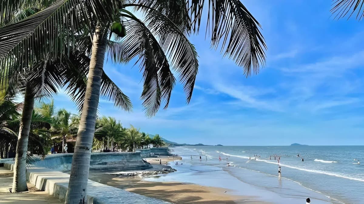
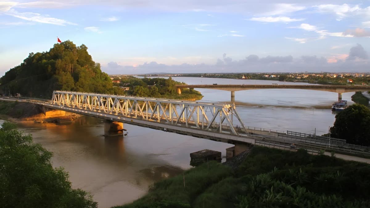
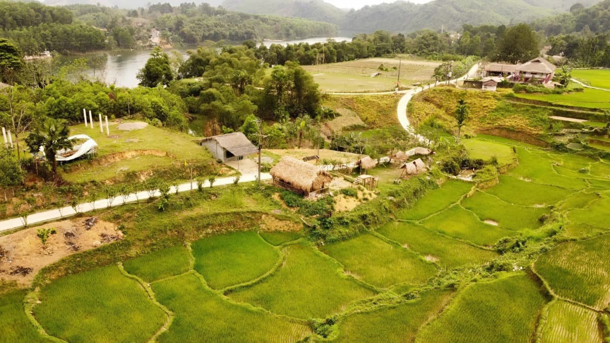
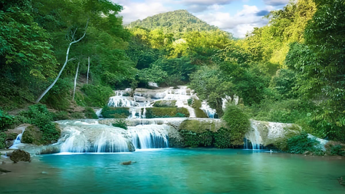
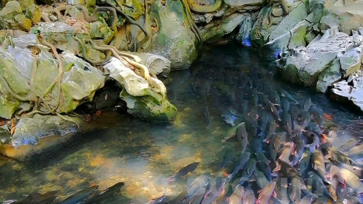
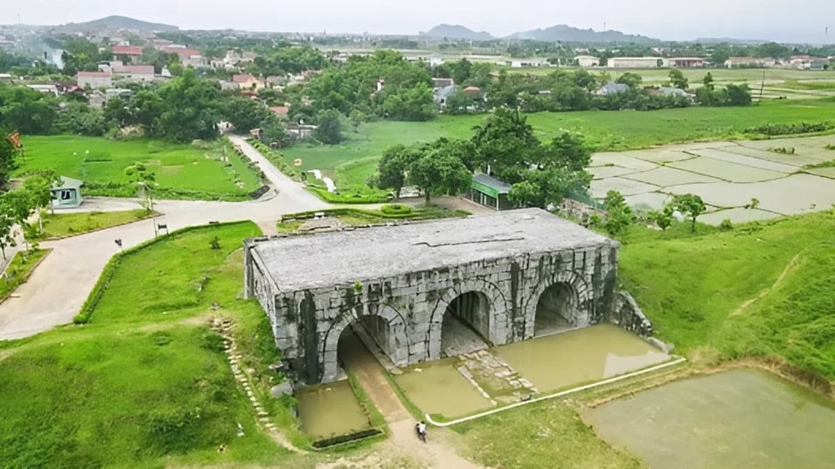
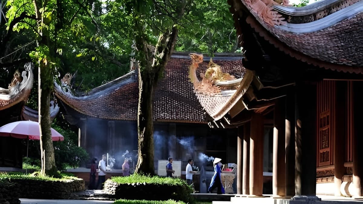
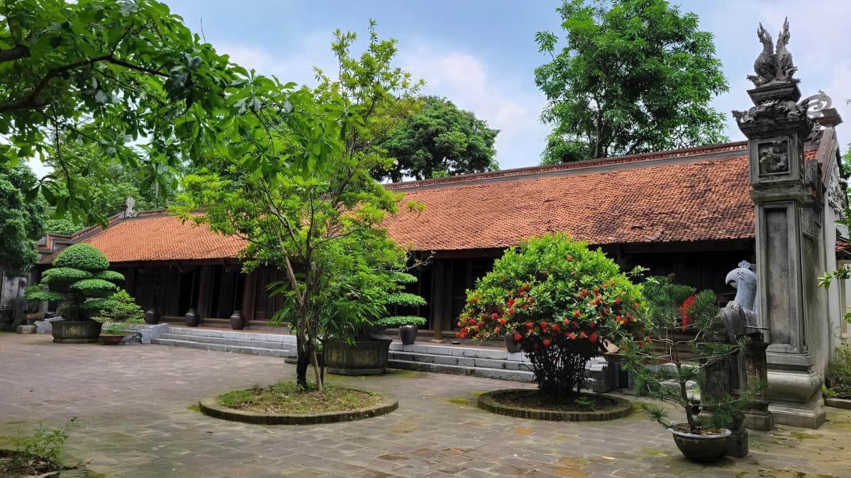
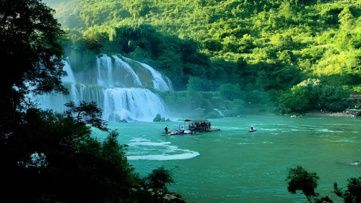
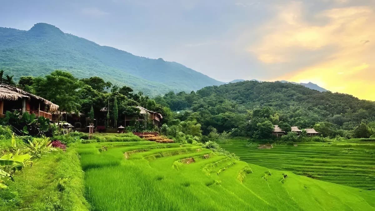
푸루옹 자연보호구역 - 산림과 토착 문화가 어우러진 공간 푸루옹 자연보호구역은 1999년에 설립되었으며, 타인호아성 바트억(Bá Thước)현과 꽌호아(Quan Hóa)현에 걸쳐 위치해 있습니다. 약 17,000헥타르 규모의 이 보호구역은 천연림 생태계, 석회암 산, 계곡, 그리고 산림 경관 속에 자리 잡은 주거지로 구성되어 있습니다. 또한 마강(Sông Mã) 상류의 산림을 보호하는 중요한 역할을 합니다. 푸루옹의 촬영지로서의 가치는 지형과 생태계의 다양성에 있습니다. 석회암 산맥, 상록수림, 계곡, 계단식 논, 동굴, 그리고 타이족과 므엉족 마을이 어우러져 자연과 문화가 층을 이루는 공간을 형성합니다. 이곳은 풍부한 동식물군과 희귀종이 서식하는 곳으로 알려져 있으며, 동굴 시스템과 석회암 산 경관은 촬영을 위한 다양한 선택지를 제공합니다. 자연 및 생물 다양성 다큐멘터리, 지역 사회 및 민족 문화 관련 영화, 베트남 산악 지대를 배경으로 하는 작품 촬영에 적합합니다. 숲, 석회암 산, 계단식 논, 마을은 파노라마 샷, 풍경 촬영, 현지 생활상 촬영에 최적의 환경을 제공합니다. 내용 요약: PTIT. 사진 출처: Decathlon, Pu Luong Retreat.
장소 사용료
일반 정보
과금 모델
데이터 없음
보증금
데이터 없음
참고 사항
데이터 없음
촬영 장소 요금표
| 항목 | 요금 |
|---|---|
| 시간당 요금 | 데이터 없음 |
| 일일 요금 | 데이터 없음 |
| 초과 근무 수당 | 데이터 없음 |
적용 정책
요금 할인/면제 정책
국내 및 해외 촬영팀을 위한 우대 정책 적용.
적용 조건
국내외 촬영팀을 위한 우대 정책이 적용됩니다.
장소 이용 수칙
특별 보호림 구역, 엄격한 보호 구역 또는 접근 제한 구역에 무단으로 출입하지 마십시오.
계단식 논, 계곡, 폭포, 동굴 또는 경사가 급한 지형에서 촬영할 경우, 사전에 현장을 조사하고 촬영팀의 안전 확보 방안을 마련해야 합니다.
인프라
접근성
16-45인승 차량
승용차 / 16인승 승합차
오토바이
제작 지원
드론 촬영 허용
야간 촬영 허용
시설
대기 공간
세트 제작 구역
용수 공급
화장실
특수 위험 요소
급경사 산악 지형, 깊은 계곡 및 접근이 어려운 경로
급류, 수위 상승 및 악천후 위험
장소 지도
연락처 정보
기온
30.9°C
체감 온도 32.1°C
날씨
Mưa phùn
습도 53%
풍향
서
12.5 m/s
일출 / 일몰