U Minh Thuong National Park
U Minh Thuong, Xã U Minh Thượng, An Giang Province
撮影準備完了
PAI 0.5
Crew size: 50名超
Processing time: データなし
Category: 自然景観
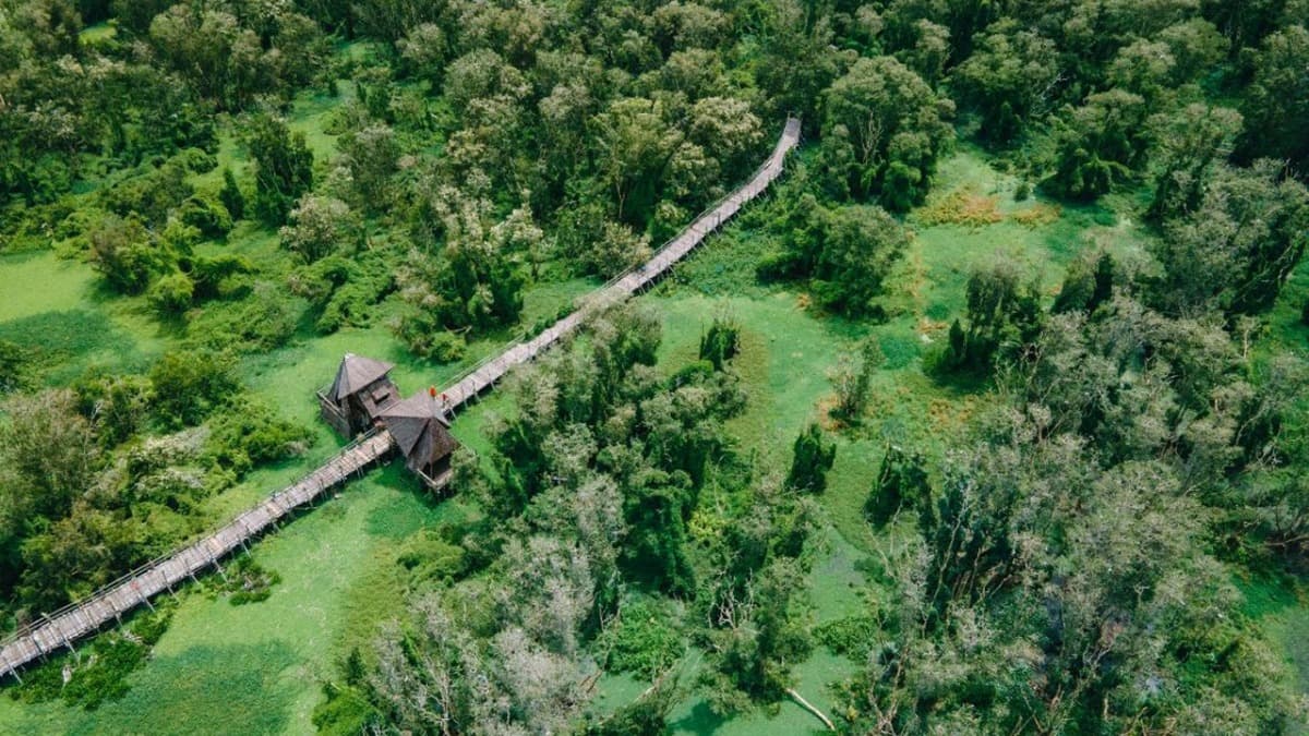
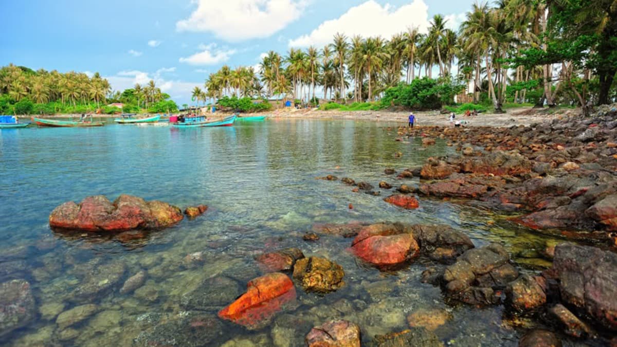
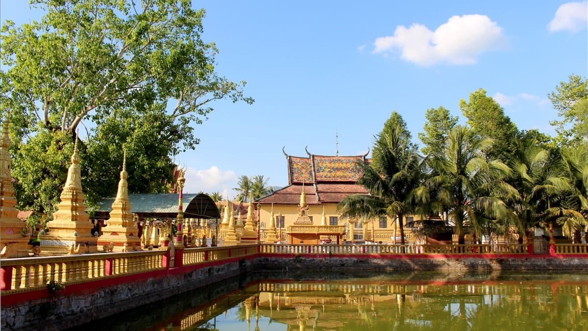
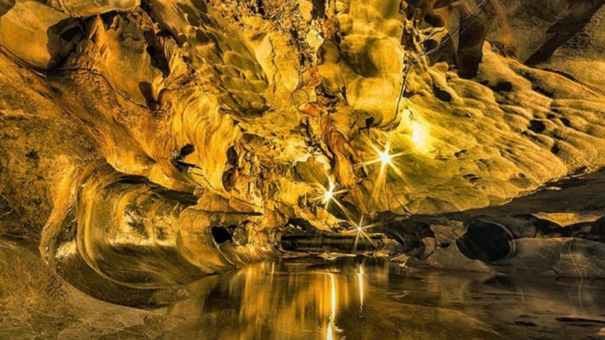
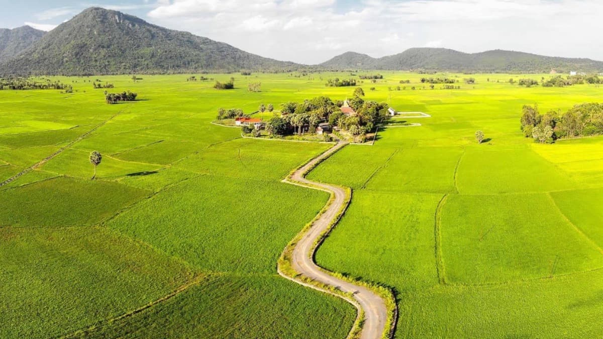
U Minh Thuong National Park – Melaleuca forest on peatland Located approximately 65km southwest of Rach Gia City in U Minh Thuong District, Kien Giang Province, U Minh Thuong National Park is a globally recognized Biosphere Reserve and an invaluable ASEAN Heritage Park. This site served as a strategic revolutionary base for the Southwest region during two wars of resistance, housing 31 historical monuments. U Minh Thuong possesses the only remaining primary peat swamp forest ecosystem in Vietnam. Its cinematic landscape offers a wild, pristine beauty, steeped in an ancient atmosphere with thousand-year-old Melaleuca trees rising from the characteristic red waters of the U Minh region. The five-petaled Hoa Mai Lake, covered in vast carpets of aquatic ferns, and large flocks of flying foxes hovering in the sky create unparalleled visual inspiration for the camera. This location is highly suitable for historical war films, wilderness survival and adventure films, as well as archaeological and environmental documentaries. Information compiled by: PTIT. Photo credit: Tham hiem Mekong.
#vườn quốc gia u minh thượng
#an giang
#phim lịch sử
#phim tài liệu
Location fees
General information
Charging model
データなし
保証金
データなし
Notes
データなし
Filming location fee schedule
| Item | Fee |
|---|---|
| 時間料金 | データなし |
| 日額料金 | データなし |
| 時間外料金 | データなし |
Applicable policy
Fee discount/waiver policy
Preferential policies apply to both domestic and international film crews.
Applicable conditions
データなし
ロケ地規則
Strictly adhere to the Law on Forestry regarding the protection of special-use forests: It is strictly prohibited to obstruct or harm wild flora and fauna (especially the Hairy-nosed Otter listed in the Red Data Book).
It is strictly prohibited to bring or use fire, flammable materials, or create fire/explosion effects within the strictly protected zones.
Filming in the core zone requires written approval from the National Park Management Board and the Kien Giang Provincial People's Committee.
インフラ・設備
車両アクセス
カヌー・ボート
船・船舶
16〜45人乗り車両
乗用車・16人乗りバン
バイク
撮影支援
ドローン撮影可
夜間撮影可
輸送サービス
関係当局の調整支援
低騒音環境
現地設備
給水設備
トイレ設備
特記事項・リスク
Dangerous sinking peat swamp terrain; deep red water containing various dangerous reptiles and amphibians (reticulated pythons, venomous cobras).
Peatland bank erosion caused by motorboat wakes.
位置マップ
連絡先情報
Temperature
29.7°C
体感温度 34.7°C
Weather
Sương mù
Humidity 59%
Wind direction
Southwest
10.5 m/s
Sunrise / sunset
An Giang Provinceの類似ロケ地
すべて見る