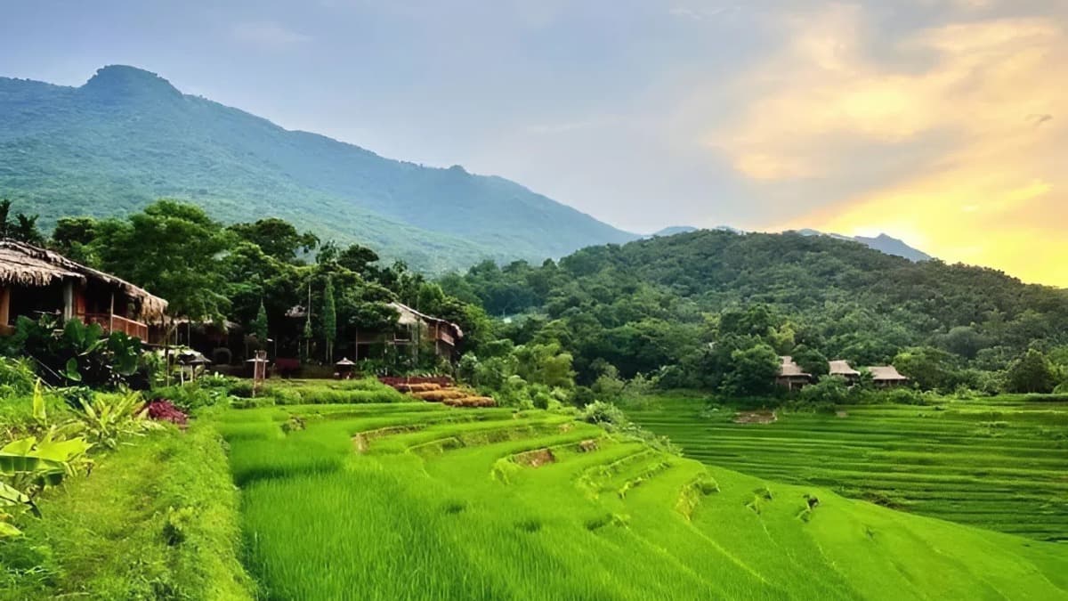
Pu Luong Nature Reserve
National Highway 15C, Xã Pù Luông, Thanh Hoa Province
撮影準備完了
PAI 3.1
Crew size: 15 - 50名
Processing time: 6日
Category: 自然景観
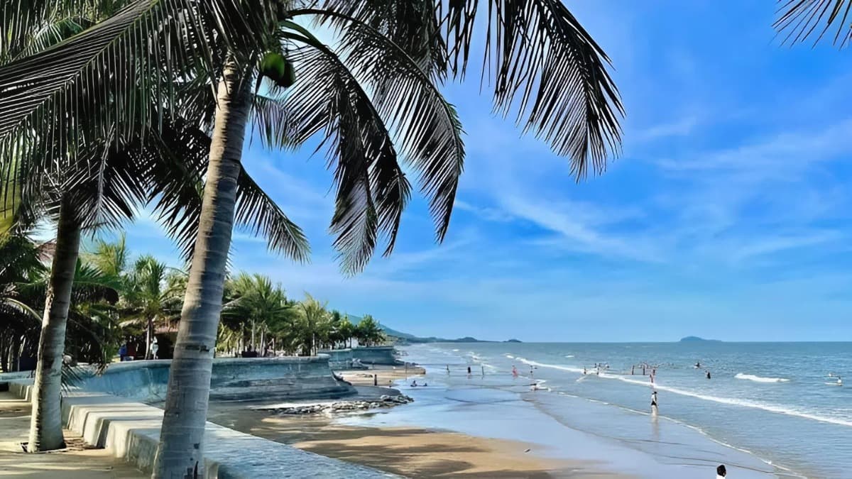
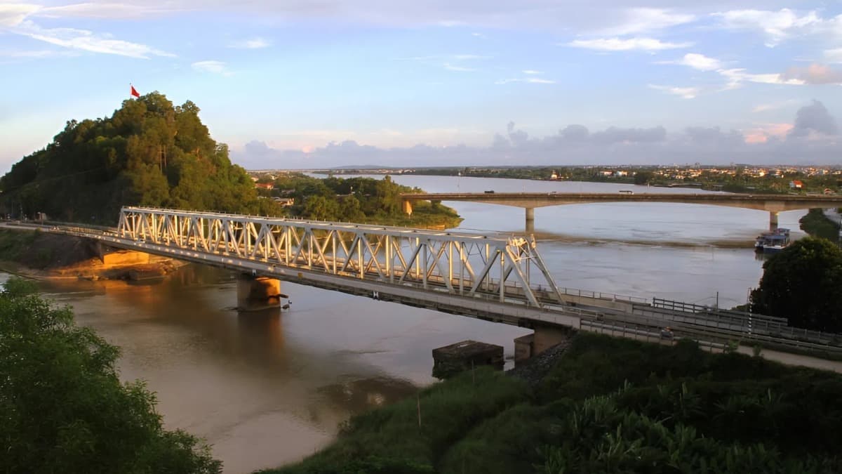
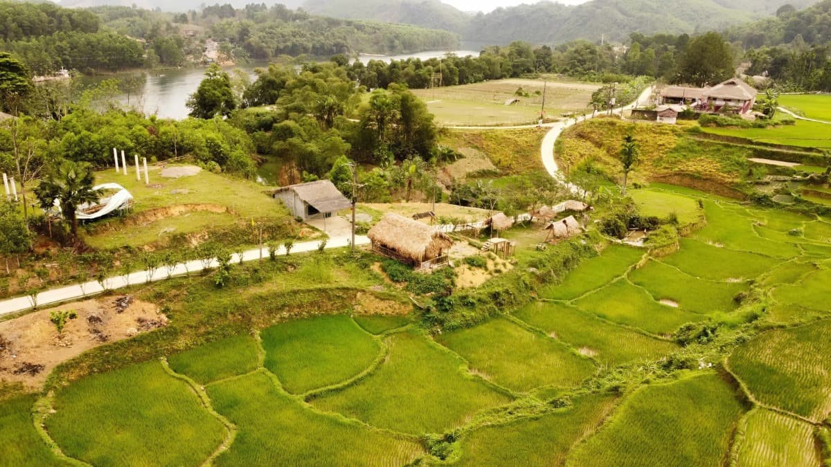
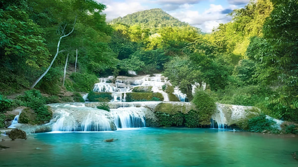
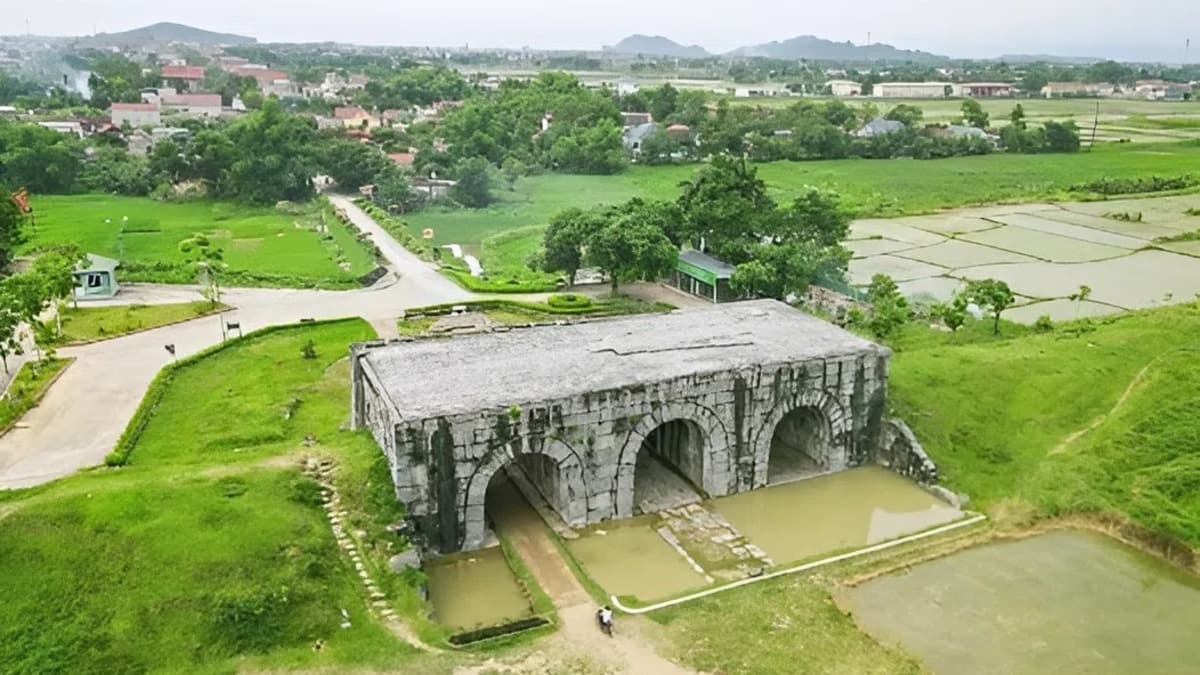
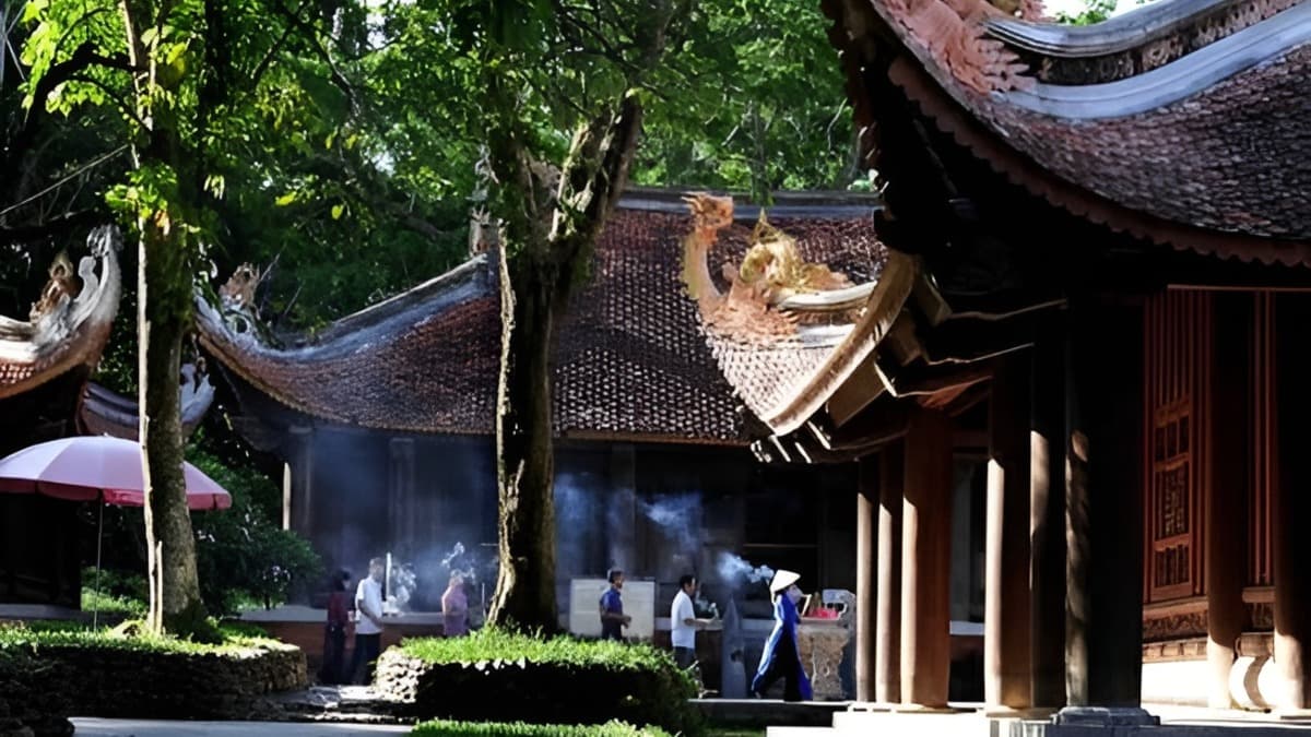
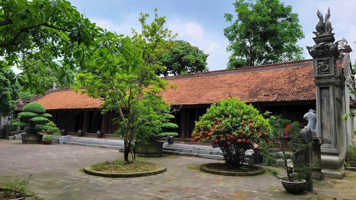
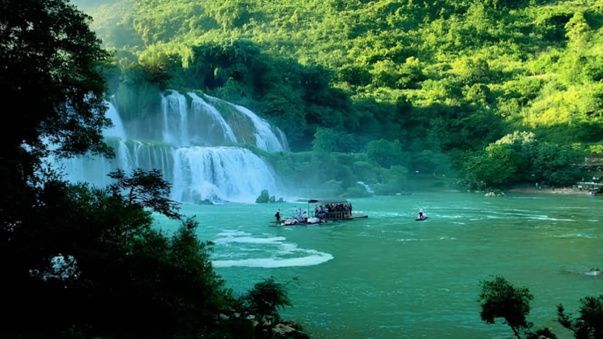
Pu Luong Nature Reserve - A landscape of mountains, forests, and indigenous culture Established in 1999, the Pu Luong Nature Reserve spans the districts of Ba Thuoc and Quan Hoa in Thanh Hoa province. Covering approximately 17,000 hectares, the reserve features a diverse ecosystem of natural forests, limestone mountains, valleys, and residential areas nestled within the mountainous terrain. It plays a crucial role in protecting the headwaters of the Ma River. The cinematic value of Pu Luong lies in its diverse topography and ecosystems. Limestone mountain ranges, evergreen forests, valleys, terraced rice fields, caves, and villages of the Thai and Muong ethnic communities create multi-layered natural and cultural settings. The reserve is home to a rich variety of flora and fauna, including many rare species; its cave systems and limestone landscapes offer additional options for filming. This location is suitable for documentaries on nature and biodiversity, films about community life and ethnic culture, and productions exploring the mountainous regions of Vietnam. The forests, limestone mountains, terraced fields, and villages provide numerous options for panoramic shots, landscapes, and indigenous life. Content summary: PTIT. Photo source:
#khu bảo tồn thiên nhiên pù luông
#thanh hóa
#sông hồ suối thác
#rừng núi hang động
#đồi cao nguyên
#phim tài liệu
Location fees
General information
Charging model
データなし
保証金
データなし
Notes
データなし
Filming location fee schedule
| Item | Fee |
|---|---|
| 時間料金 | データなし |
| 日額料金 | データなし |
| 時間外料金 | データなし |
Applicable policy
Fee discount/waiver policy
データなし
Applicable conditions
Áp dụng chính sách ưu đãi cho Đoàn làm phim trong nước và quốc tế.
ロケ地規則
Do not enter special-use forest areas, strictly protected zones, or restricted access areas without authorization.
When filming at terraced fields, streams, waterfalls, caves, or areas with steep terrain, a prior site survey is required, and a safety plan must be established for the crew.
インフラ・設備
車両アクセス
16〜45人乗り車両
乗用車・16人乗りバン
バイク
撮影支援
ドローン撮影可
夜間撮影可
現地設備
控室・待機スペース
セット設営エリア
給水設備
トイレ設備
特記事項・リスク
Steep mountainous terrain, deep ravines, and difficult access routes
Risk of flash floods, rising water levels, and adverse weather
位置マップ
連絡先情報
Temperature
30.9°C
体感温度 32.1°C
Weather
Mưa phùn
Humidity 53%
Wind direction
West
12.5 m/s
Sunrise / sunset
Thanh Hoa Provinceの類似ロケ地
すべて見る