ゴアヴァン石場(Bãi đá Ngọa Vân)
アンシン(An Sinh)村、ゴアヴァン寺遺物エリア内のバオダイ(Bảo Đài)山頂, Binh Khe Ward, Quang Ninh Province
撮影準備完了
PAI 3.2
撮影クルー人数: 大規模 (50人以上)
申請処理期間: 6日
カテゴリー: Heritage / culture
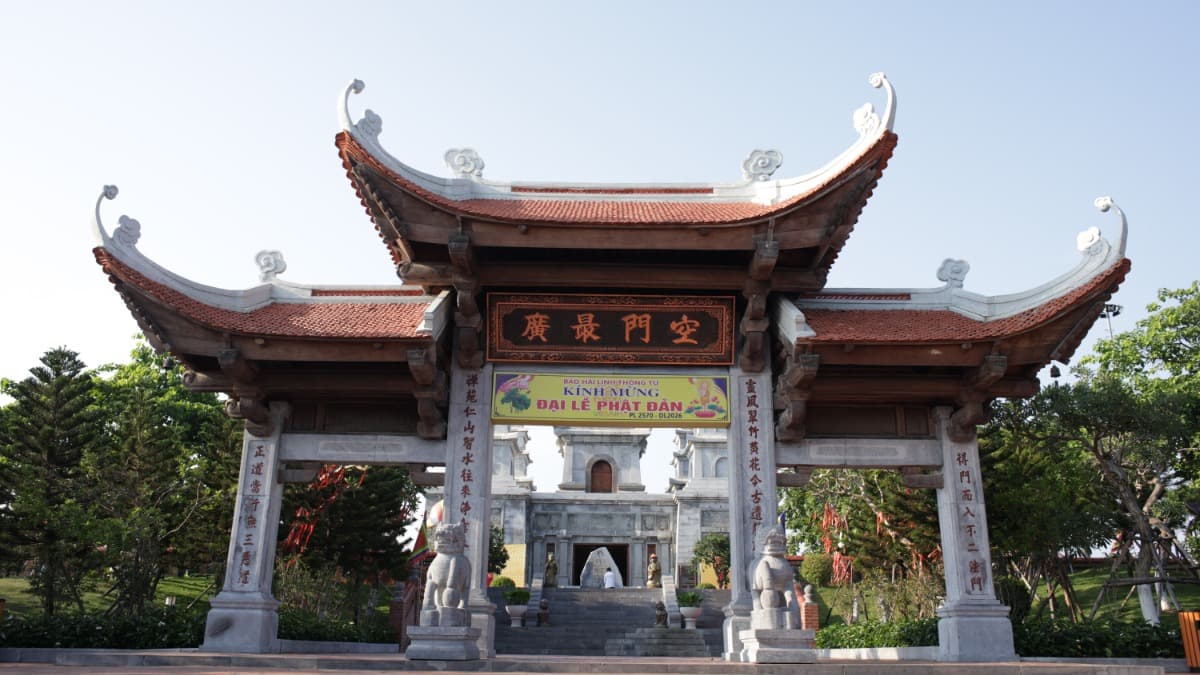
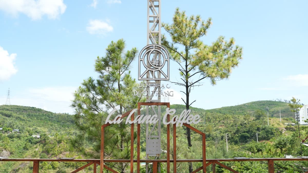
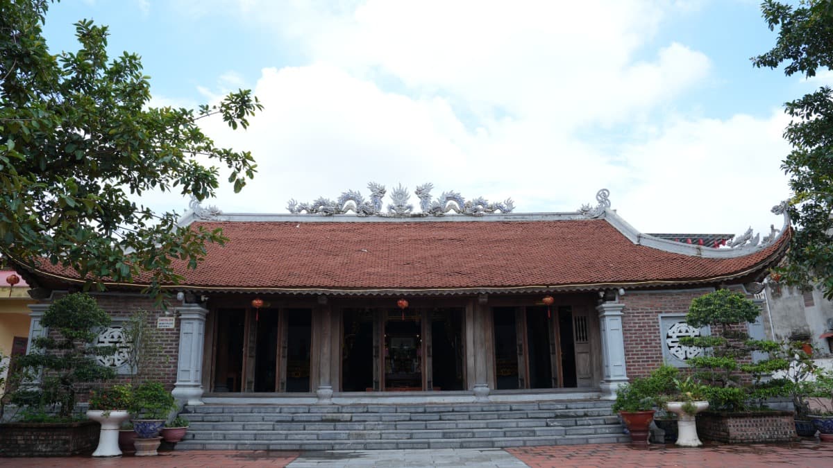
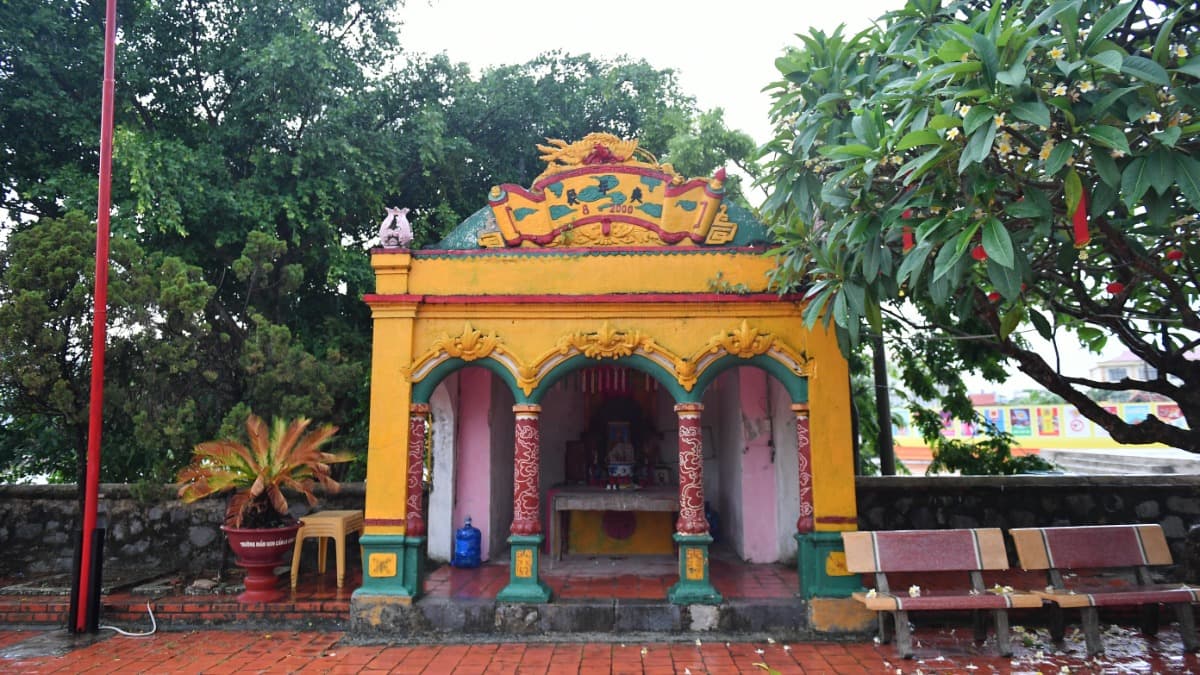
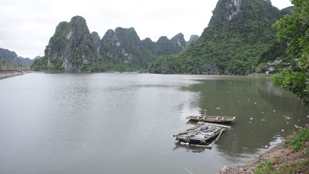
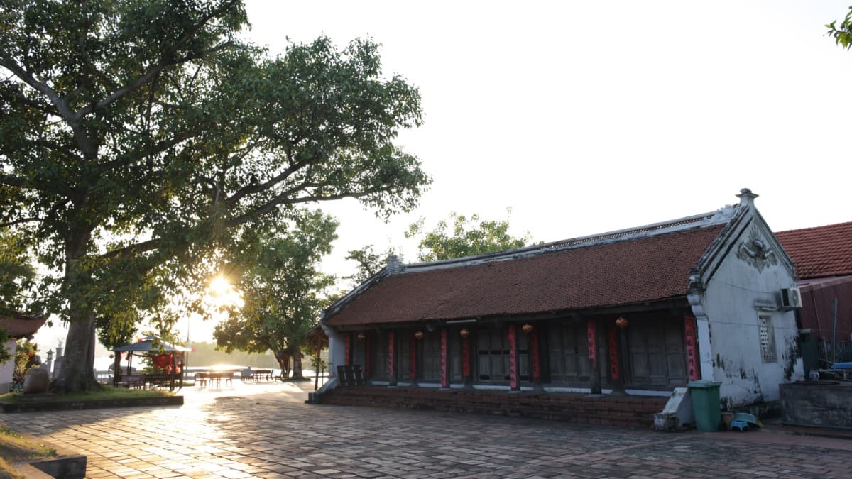
ゴアヴァン石場(Bãi Đá Ngọa Vân)は、雄大な自然の岩山が広がる景勝地です。 ゴアヴァン石場は、岩山の地形、草原、そしてイェントゥ(Yên Tử)遺産空間内の考古学的遺構が特徴です。 ゴアヴァン石場は、ゴアヴァン寺とホーティエン寺を結ぶルート上に位置し、クアンニン省ドンチエウ(Đông Triều)のビンケー(Bình Khê)地区に属しています。この場所は、ドンチエウにある「チャン朝(Nhà Trần)特別国家遺物」の文化・歴史的空間内にあり、2025年にユネスコ世界遺産に登録された「イェントゥ-ヴィンギエム-コンソン・キエップバック」の複合遺産の一部です。 「石積み場(Bãi Đá Chồng)」とも呼ばれるこの空間は、山岳地形に点在する巨大な岩塊と、草原や開放的な空間が特徴です。ここでの考古学調査により、建築の基礎跡、池、塔園、古代の建築資材などが発見されており、ゴアヴァン空間の形成と発展に深く関わっていることが示されています。 撮影ロケーションとしての価値としては、山岳の自然風景、巡礼の旅、竹林禅宗(Phật giáo Trúc Lâm)に関連する文化・歴史的空間の撮影に適しています。 本情報はPTITが各ソースから収集したものです。写真提供:Vietnam News。
ロケーション使用料
基本情報
料金体系
データがありません
保証金
データがありません
備考
データがありません
撮影ロケーション料金表
| 項目 | 料金 |
|---|---|
| 時間単価 | データがありません |
| 日額単価 | データがありません |
| 超過料金 | データがありません |
適用ポリシー
料金割引・免除ポリシー
国内外の撮影クルー向けに優遇措置を適用しています。
ロケーション利用規約
遺物の本来の要素を変更してはならない。
ゴミや排水の投棄、環境汚染を禁止する。プラスチックゴミや使い捨て素材の使用を最小限に抑えること。
ドローンや無人航空機を使用した撮影活動は、現行の飛行管理および許可に関する法令を遵守しなければならない。
インフラ設備
アクセス・利便性
乗用車・16人乗りバン
バイク
制作サポート
データがありません
施設・設備
トイレ設備
特別な危険性
高山地帯であり、急勾配や急カーブが多い。
足場が悪く、急な斜面が多い。
天候や霧により視界が悪くなる可能性がある。
ロケーションマップ
連絡先情報
気温
30.1°C
体感温度 29.1°C
天気
Mây rải rác
湿度 83%
風向
北
5.9 m/s
日の出 / 日の入り